Overview
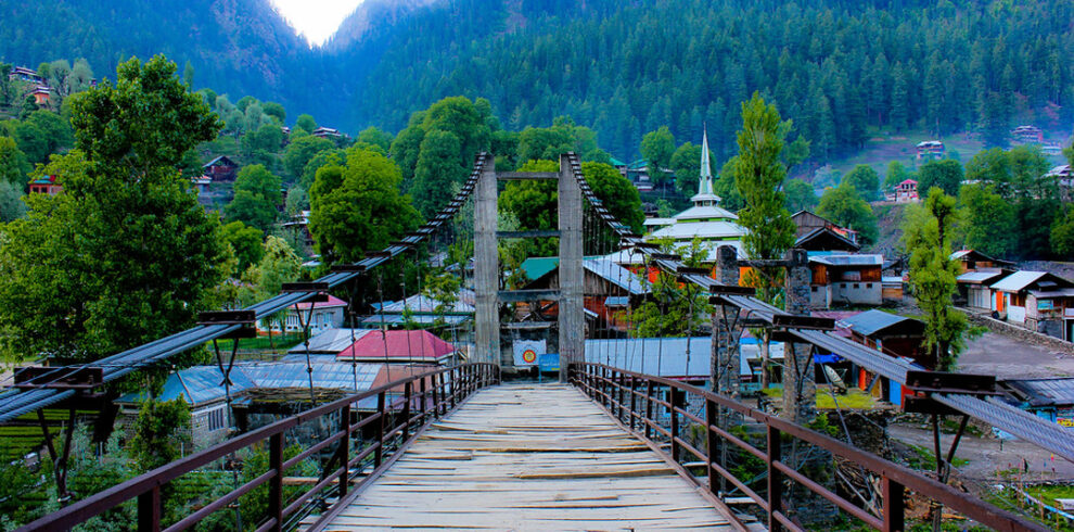
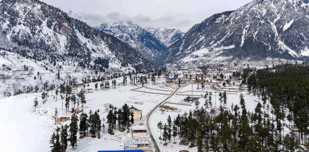
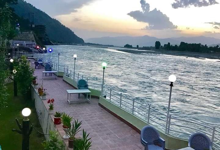
The Neelum River was known before Partition as Kishan Ganga and was subsequently renamed after the village of Neelam.[4] It flows down from the Gurez Valley in Indian Jammu and Kashmir and roughly follows first a western and then a south-western course until it joins the Jhelum River at Muzaffarabad. The valley is a thickly wooded[citation needed] region with an elevation ranging between 4,000 feet (1,200 m) and 7,500 feet (2,300 m), the mountain peaks on either side reaching 17,000 feet (5,200 m).[5] Neelum Valley is 144 kilometres (89 mi) long.[6] Most of the valley is taken up by the Neelum District(Urdu: ضلع نیلم). The district is bordered on the south-west by Muzaffarabad District, which also encompasses the lower reaches of the valley; to the north-west beyond the mountains lies the Kaghan Valley in Khyber Pakhtunkhwa’s Mansehra District; to the north and north-east are the Diamer, Astore and Skardu districts of Gilgit-Baltistan. To the south and east are the Kupwara and Bandipora districts of Indian Kashmir. The Line of Control runs through the valley – either across the mountains to the south-east, or in places right along the river, with several villages on the left bank falling on the Indian side of the border.


